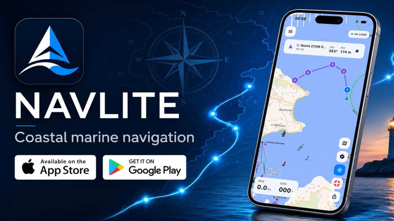
At Global SAR Hub, safety at sea is our reason for being. Today we are proud to introduce NavLite, our coastal marine navigation app for recreational mariners. Clear, fast and beautifully designed, it shows your position, heading and speed on a crisp marine chart, so you always know where you are and where you are heading.
A CLEAR MARINE CHART
High-definition OpenStreetMap vector base, an OpenSeaMap layer for buoys, lights, beacons and harbours, and a Sentinel-2 satellite view. Day and night modes preserve your night vision.
NAVIGATION, MADE SIMPLE
Real-time GPS position with course over ground (COG) and speed over ground (SOG). Build routes with waypoints, record tracks, drop points of interest, and measure distance and bearing.
SAFETY AT THE CORE
Anchor watch alarm: set a virtual anchor and radius, and NavLite keeps watch, even with the phone locked. Man Overboard mode marks a position with one tap and guides you back with bearing, distance and elapsed time.
WORKS OFFLINE
Download your cruising area, chart and marks, and navigate with no network at all. Your data stays on your device.
Free: chart, GPS, position sharing and Man Overboard mode are never interrupted, funded by a few ads on some tools. Premium: remove all advertising for a distraction-free helm.
NavLite is an aid to recreational navigation. It does not replace official nautical charts or regulatory publications. Always navigate with caution.
NavLite: Navigate the Coast with Confidence